Explore Sailing Voyages in Venezuela 🇻🇪
Cover photo by @lalonchera on Unsplash
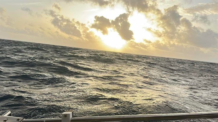
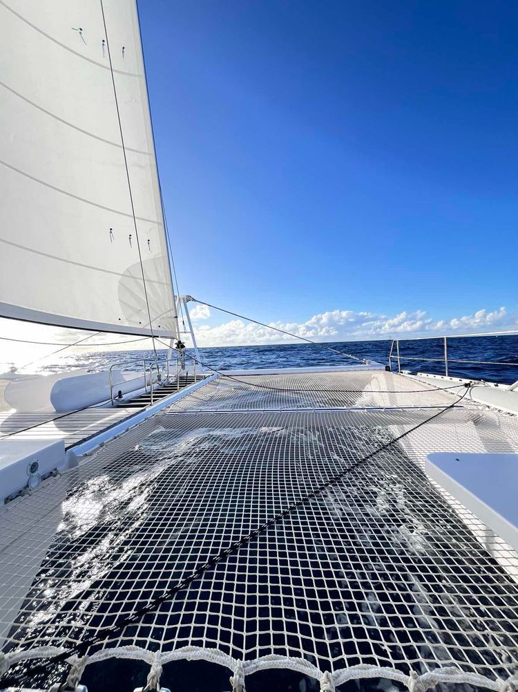
Big seas for the 1st 18 hrs. No rain 17-20 knots sustained. Averaged over 7 knots
419.9
NM
2 days 11 hours
Saint George's, Grenada to Broken Island, U.S. Virgin Islands
Too much to tell. Read our blog on: www.janjorem.nl
10
2061.3
NM
450 days 0 hours
KL Chatillon, Suriname to Caribbean Sea, Anguilla
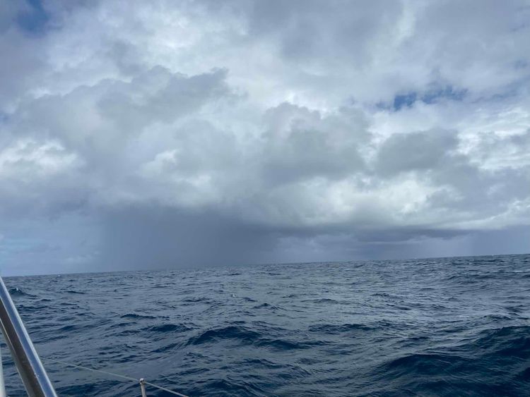
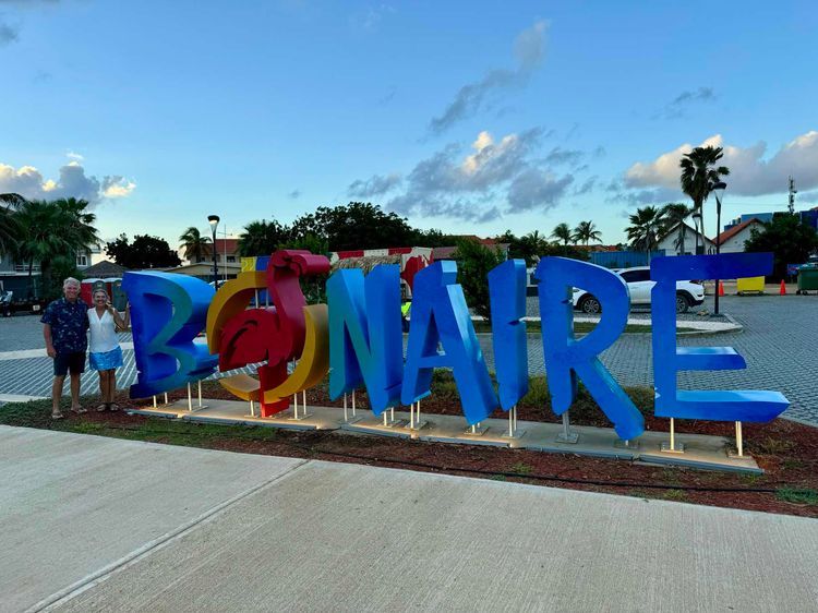
Open ocean crossing from Grenada to Bonaire. 3 over nights crossed up big seas and a lot of wind. Mostly downwind making the trip a bit of a challenge.
4
420.5
NM
2 days 21 hours
Blow Hole, Grenada to Kralendijk, Bonaire, Sint Eustatius, and Saba
5/18 : Good exit at ~3pm from St Thomas. Motored into the wind to the end of St Johns before turning southward toward Grenada under sail. 5/19 : Good night watch but several system problems. Furlers acting weak. Winches browning out nav. Fridge stopped cooling. Weird electrical smell we could not place (later we figured it out when the alternator reg caught fire at port). 5/20 : Winds up to 30kts and waves to about 3m. Anchor jumped the roller and we had to retrieve which was dicey. The boat likes big wind. Got the fridge working. 5/21 : Completed the arrival to St George Grenada at 441.2nm over 69 hours (6.4 kts average). Bow thruster battery was hosed and later the regulator for it caught fire in harbor. So no thrusters for docking but was ok. Brent and Ben were giddy after making like 9+ kts for a while on night watch.
435.5
NM
2 days 21 hours
Sapphire Village, U.S. Virgin Islands to Saint George's, Grenada
375.6
NM
2 days 12 hours
L’Esterre, Grenada to Fort Frederick, U.S. Virgin Islands
Denis, Pavel Starkov & 1 other
28 December 2024 at 07:09
Denis, Pavel Starkov & 1 other
26 December 2024 at 12:22
119.7
NM
22h 51m
Clifton, St Vincent and Grenadines to Caribbean Sea, Venezuela
4
424.5
NM
2 days 22 hours
Saint George's, Grenada to Dorp Antriol, Bonaire, Sint Eustatius, and Saba
5
ISBJØRN ADMIRAL & Ryan Finstad
22 January 2016 at 20:00
398.2
NM
5 days 16 hours
Montalvan Hill, U.S. Virgin Islands to Spanish Town, British Virgin Islands
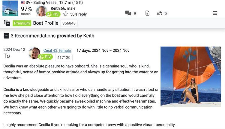
Cecilia Beatriz Micelli & Keith Dyar
12 November 2024 at 06:24
1
453.8
NM
3 days 9 hours
Cayo del Noroeste, Venezuela to Anse des Flamands, Saint Barthélemy
Explore Voyages in Similar Countries:

Ecuador 🇪🇨
Photo: @mauricio_munoz_del on Unsplash

Argentina 🇦🇷
Photo: @argentinanatural on Unsplash

Guyana 🇬🇾
Photo: @oudai1926 on Unsplash
